About Mount Kailash
- Location: Ngari Prefecture, Tibet Autonomous Region, China
- Altitude: 6,638 m (21,778 ft)
- Mountain Range: Kailash Range, Trans-Himalayas
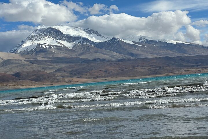
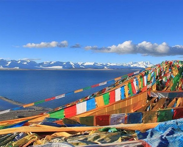
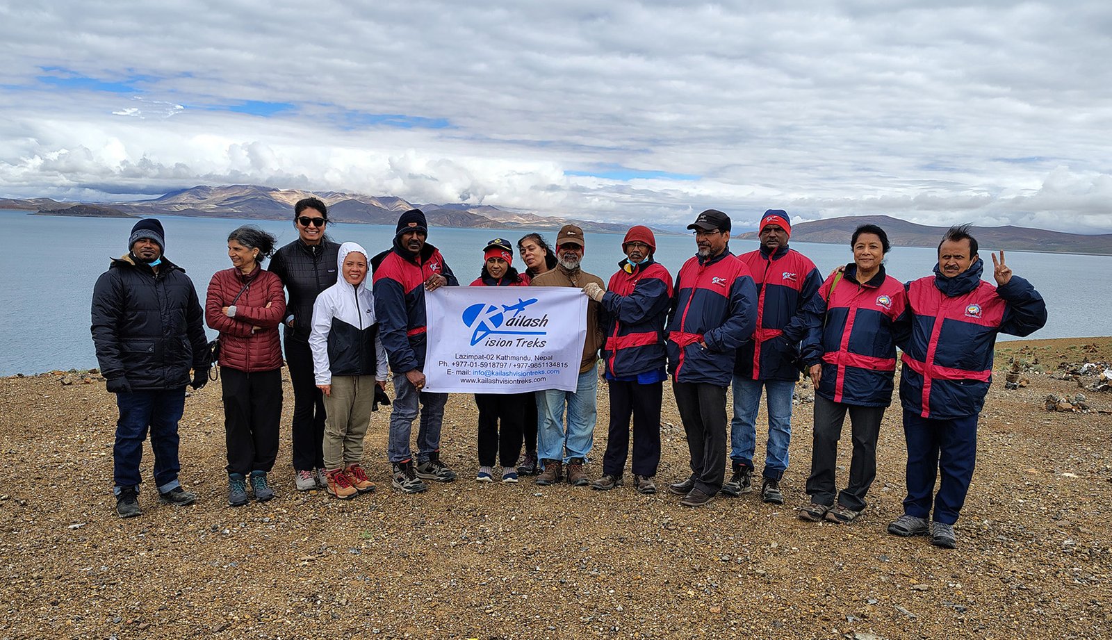
- Nearby Sacred Sites: Lake Mansarovar, Lake Rakshastal, Nandi Parvat
- Coordinates: Approx. 31.0675° N, 81.3119° E
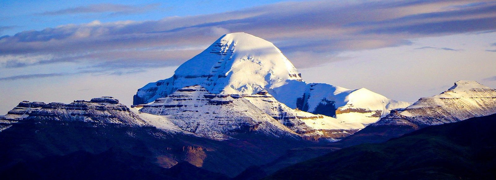
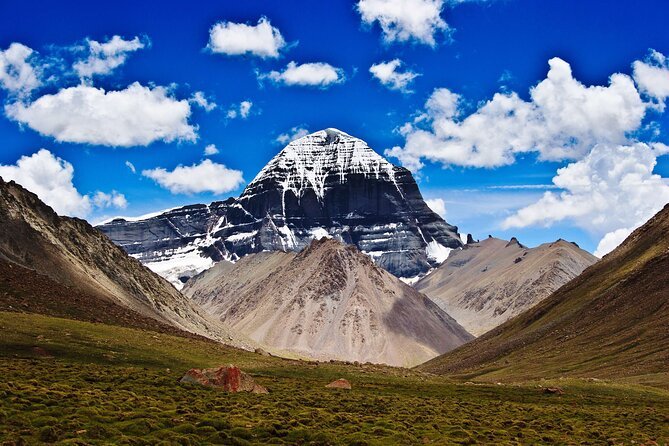
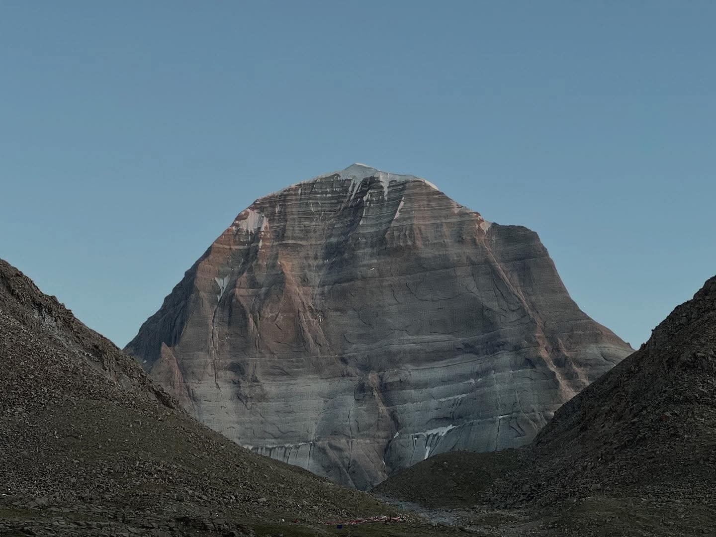
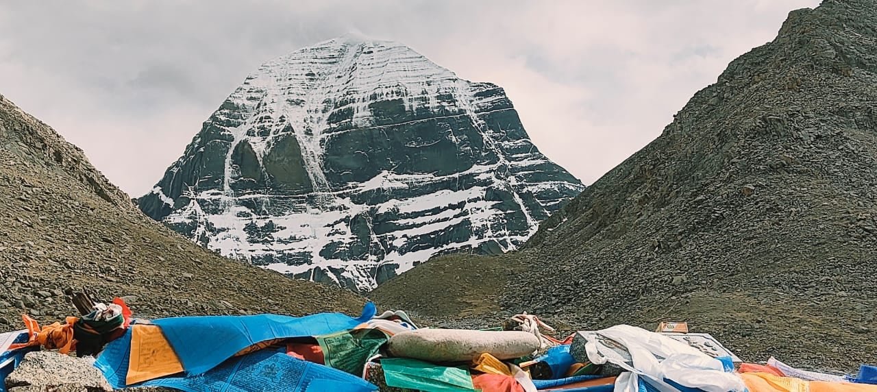
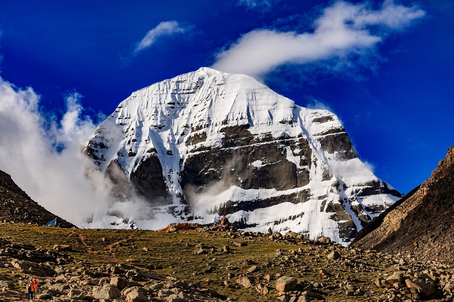
Mount Kailash is not the tallest Himalayan peak, but its symmetrical shape, untouched summit, and rich mythological background have made it a UNESCO-recognised cultural landscape (under study) and a core pilgrimage site for multiple religions.
Location & Geography
- Part of the Kailash Range in the western Himalayas, near the borders of India (Uttarakhand), Nepal, and China (Tibet).
- Four major rivers originate here: Indus, Sutlej, Brahmaputra (Yarlung Tsangpo), and Karnali (Ghaghara).
- Surrounded by high-altitude plateaus, glaciers, and sacred lakes.
Religious & Spiritual Significance
Hinduism
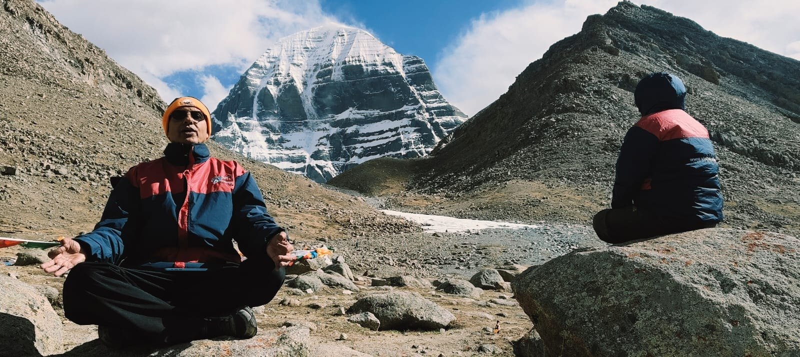
- Considered the abode of Lord Shiva and Parvati.
- Represents Mount Meru, the cosmic axis of the universe.
- Nandi Parvat is believed to guard its entrance.
Buddhism
- Associated with Demchok (Chakrasamvara), representing supreme bliss.
- Sacred in Tibetan Buddhism’s tantric traditions.
Jainism
- Known as Ashtapada, where the first Tirthankara, Rishabhanatha, attained Nirvana.
Bon Religion
- Considered the spiritual seat of Sipaimen, the Bon protector deity.
Legends & Mythology
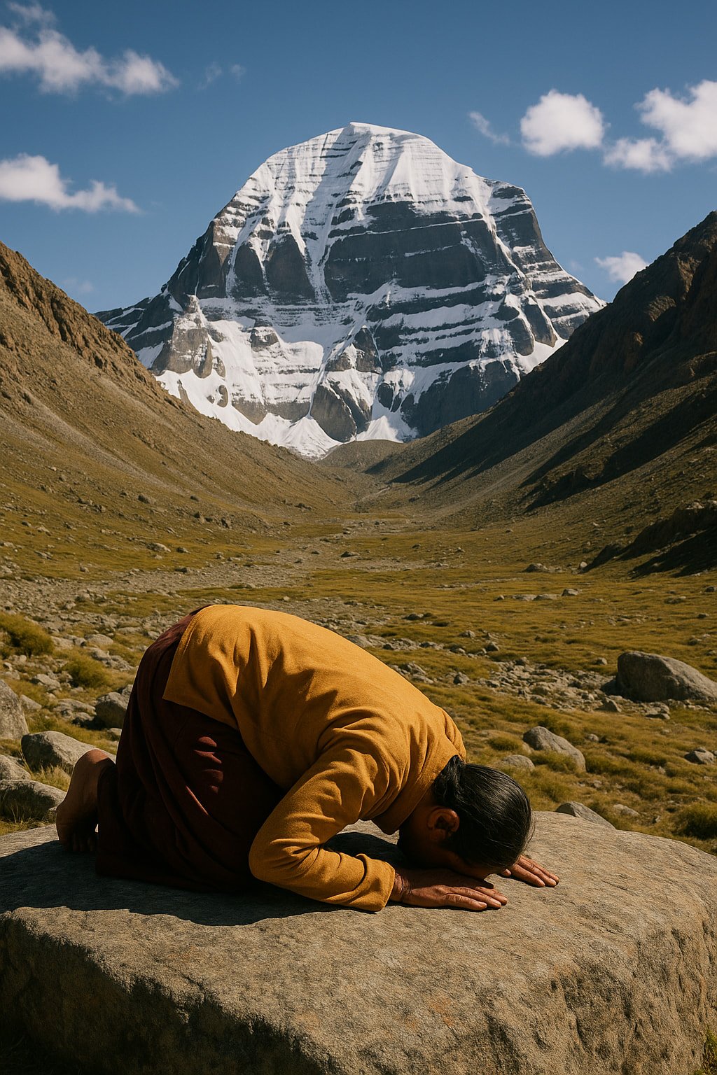
- No human has ever climbed Mount Kailash — legend says those who try face divine retribution.
- Stories tell of Ravana attempting to lift the mountain, only to be subdued by Shiva.
- The four faces of Mount Kailash (north, south, east, west) each hold symbolic meaning in different traditions:
- North Face: Spiritual aspiration
- East Face: Renewal and rebirth
- South Face: Compassion
- West Face: Enlightenment
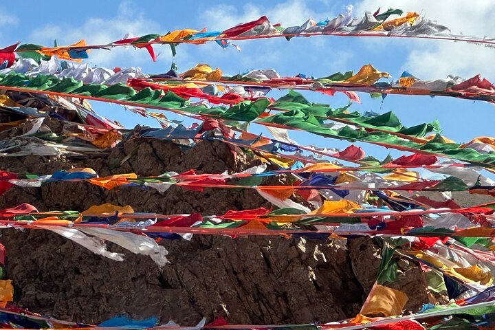
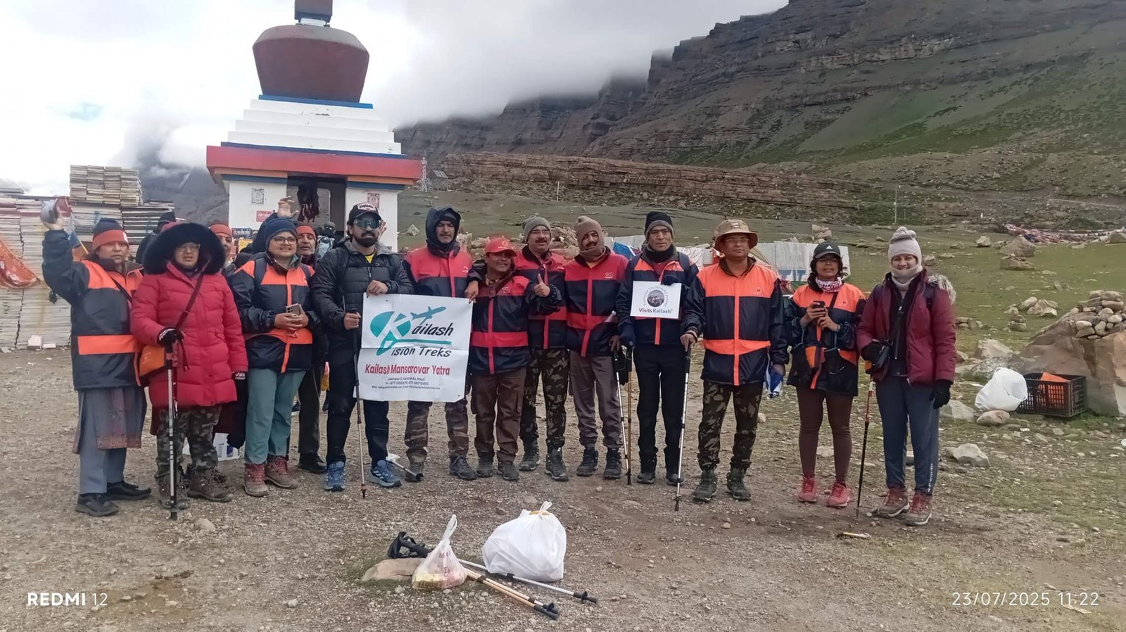
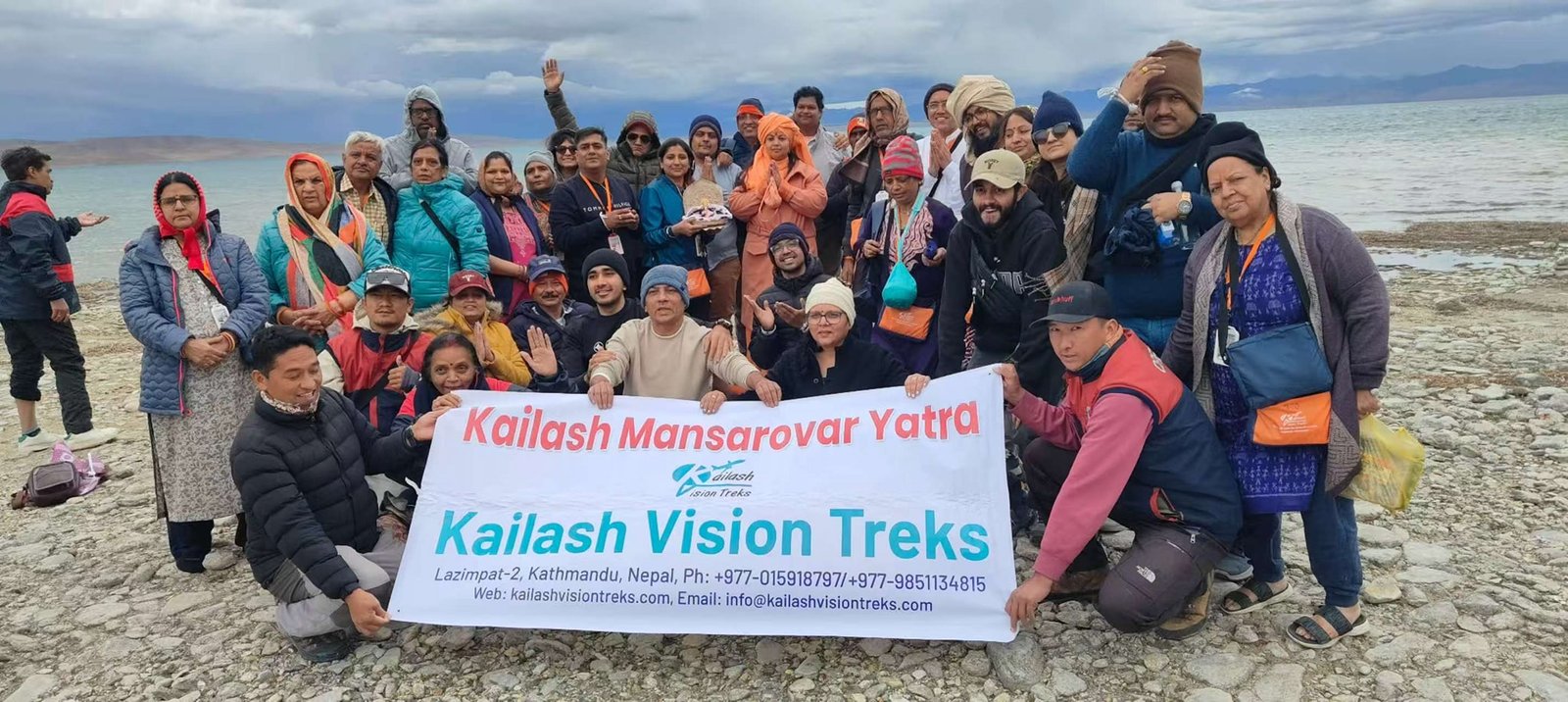
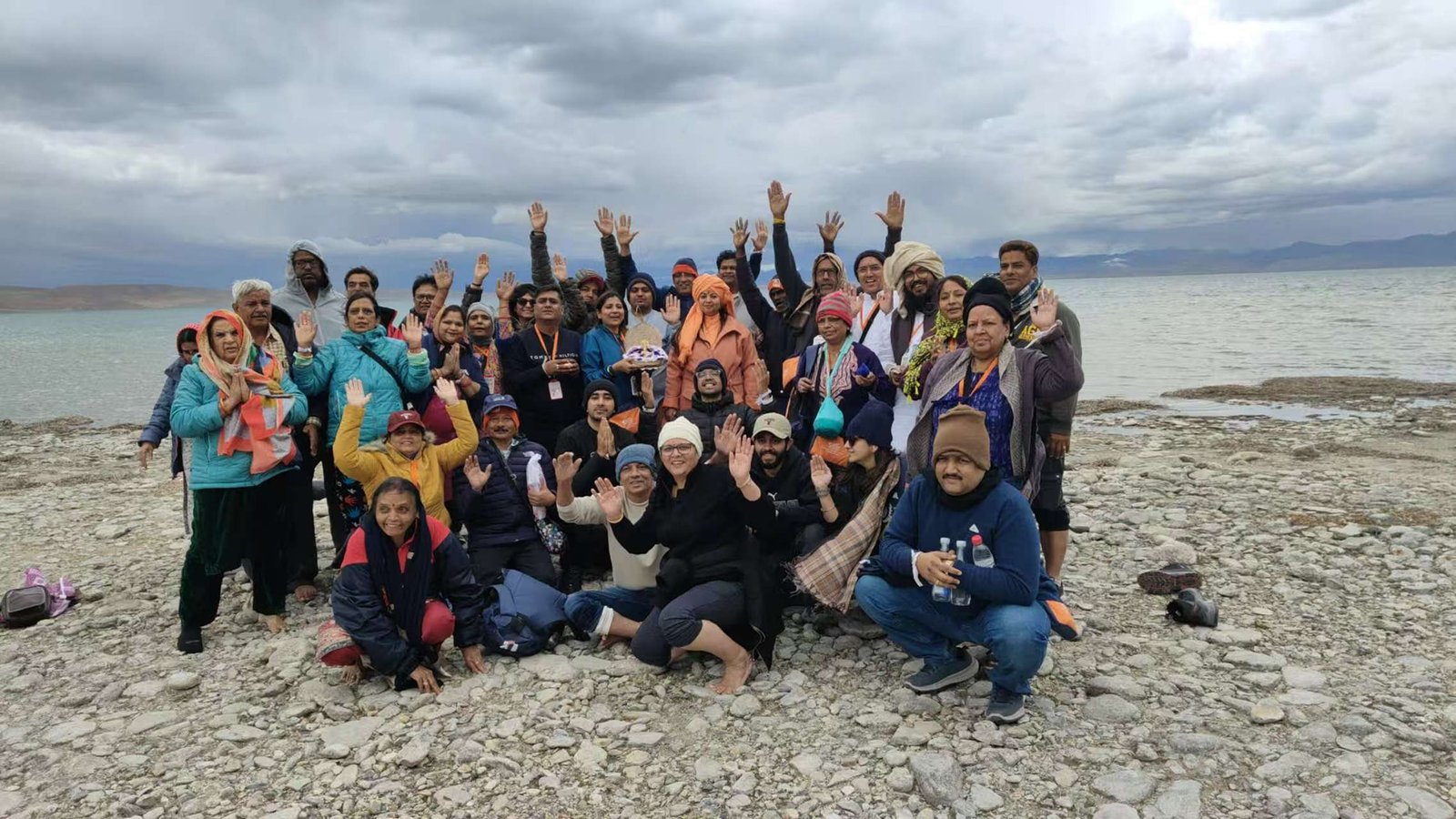
Pilgrimage & Trekking Routes
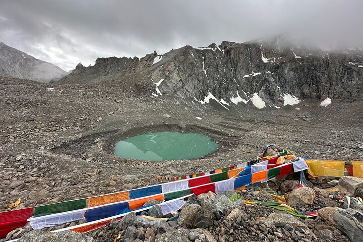
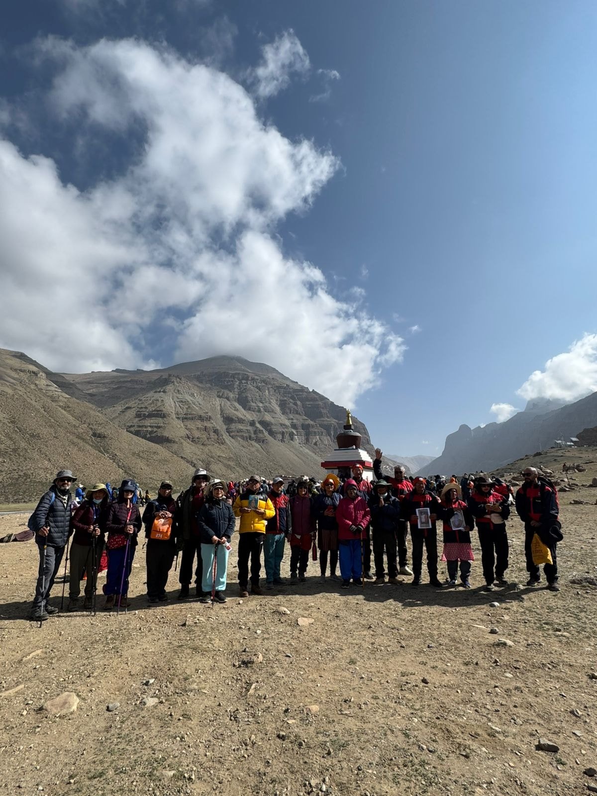
Kailash Kora (Outer Parikrama)
- 52 km circumambulation around the mountain, completed in 3 days.
- Passes through Darchen → Dirapuk → Dolma La Pass (5,630 m) → Zutulpuk → Darchen.
Inner Kora (Nandi Kora)
- Shorter but steeper, passing Nandi Parvat and closer to Kailash’s base.
- Requires special permits and physical readiness.
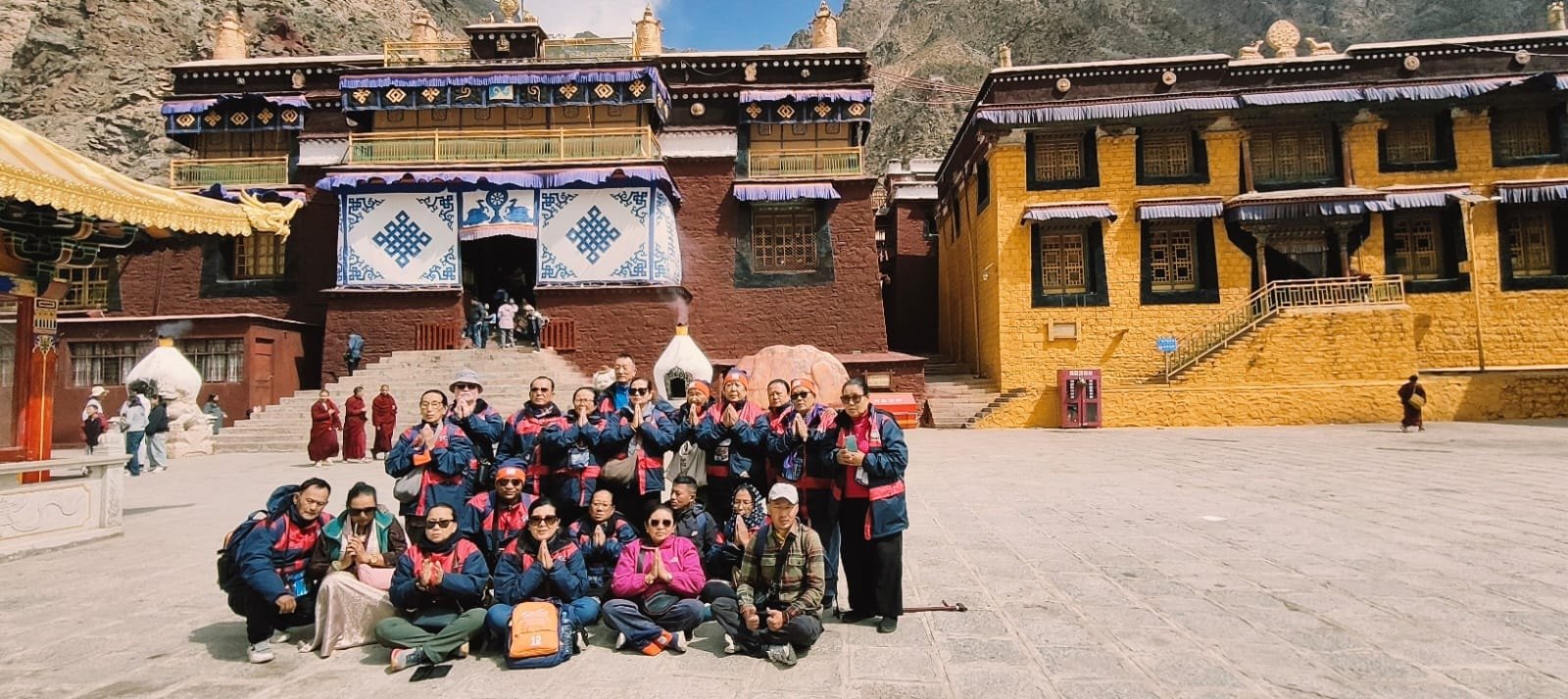
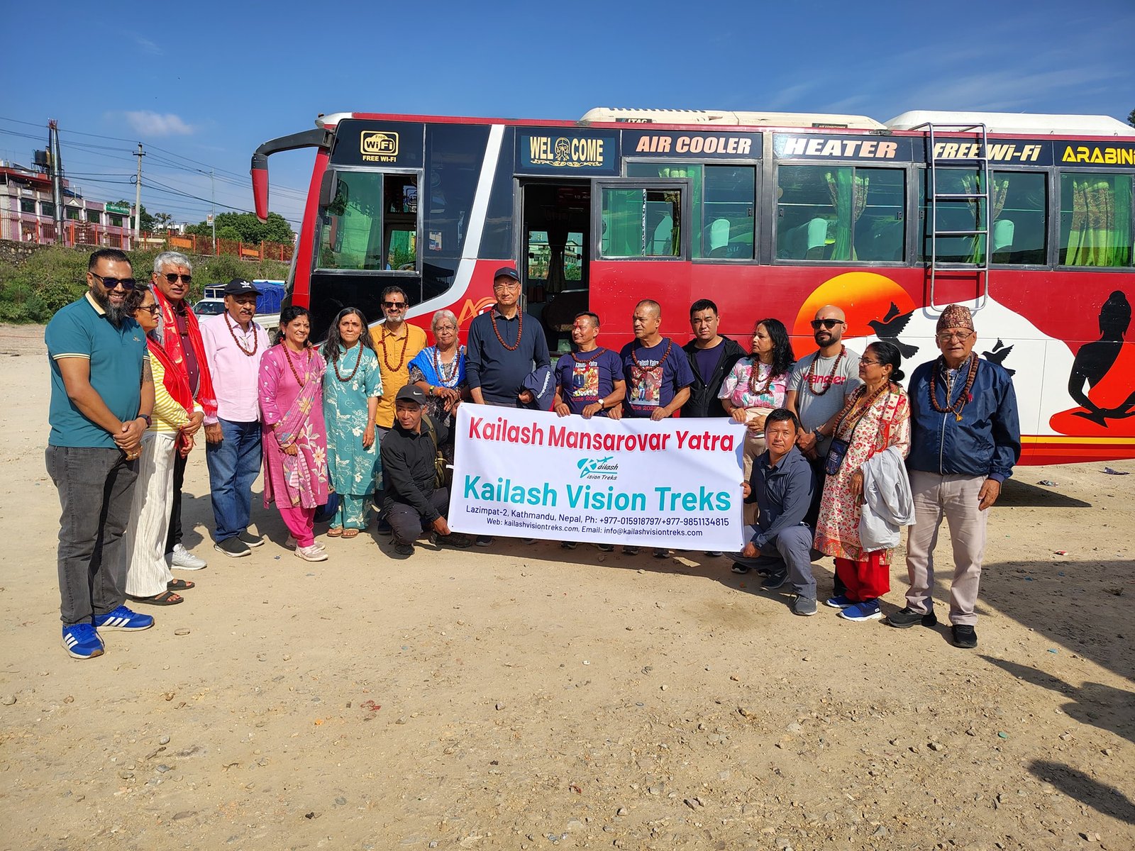
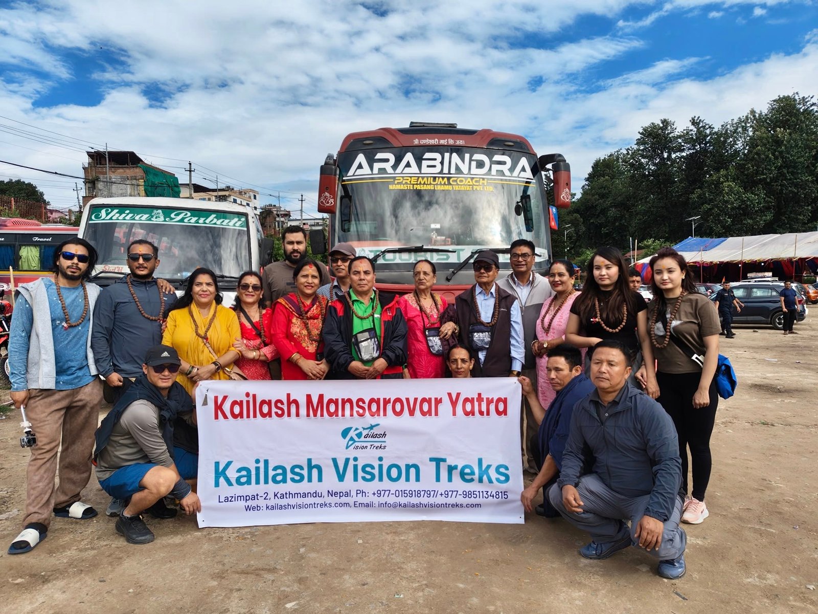
Routes to Reach Kailash:
- From Nepal (Overland): Kathmandu → Kyirong → Saga → Darchen
- From Nepal (Helicopter): Nepalgunj → Simikot → Hilsa → Purang → Darchen
- From India: Through Lipulekh Pass (Kumaon) or Nathu La Pass (Sikkim) with government-approved tours.
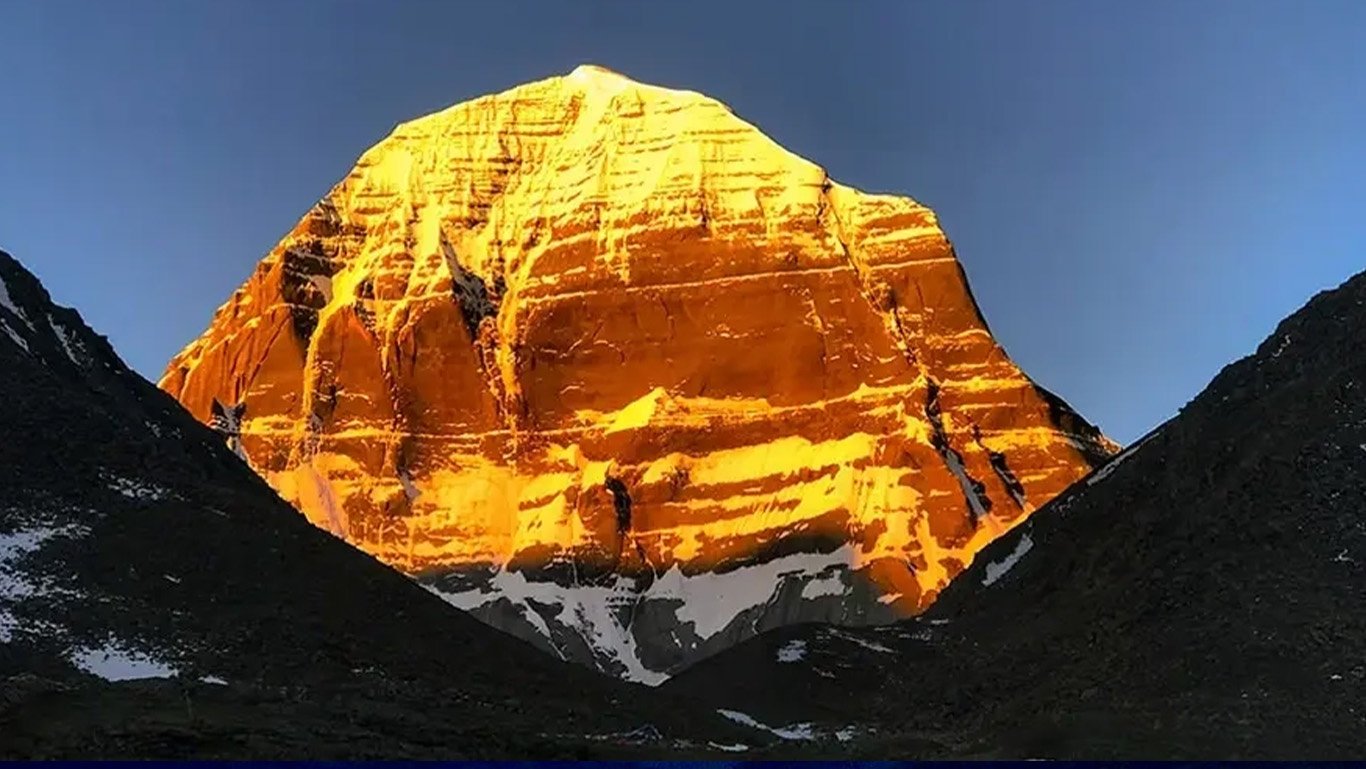
Best Viewing Points & Photography Tips
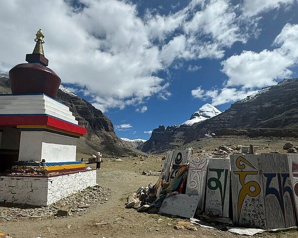
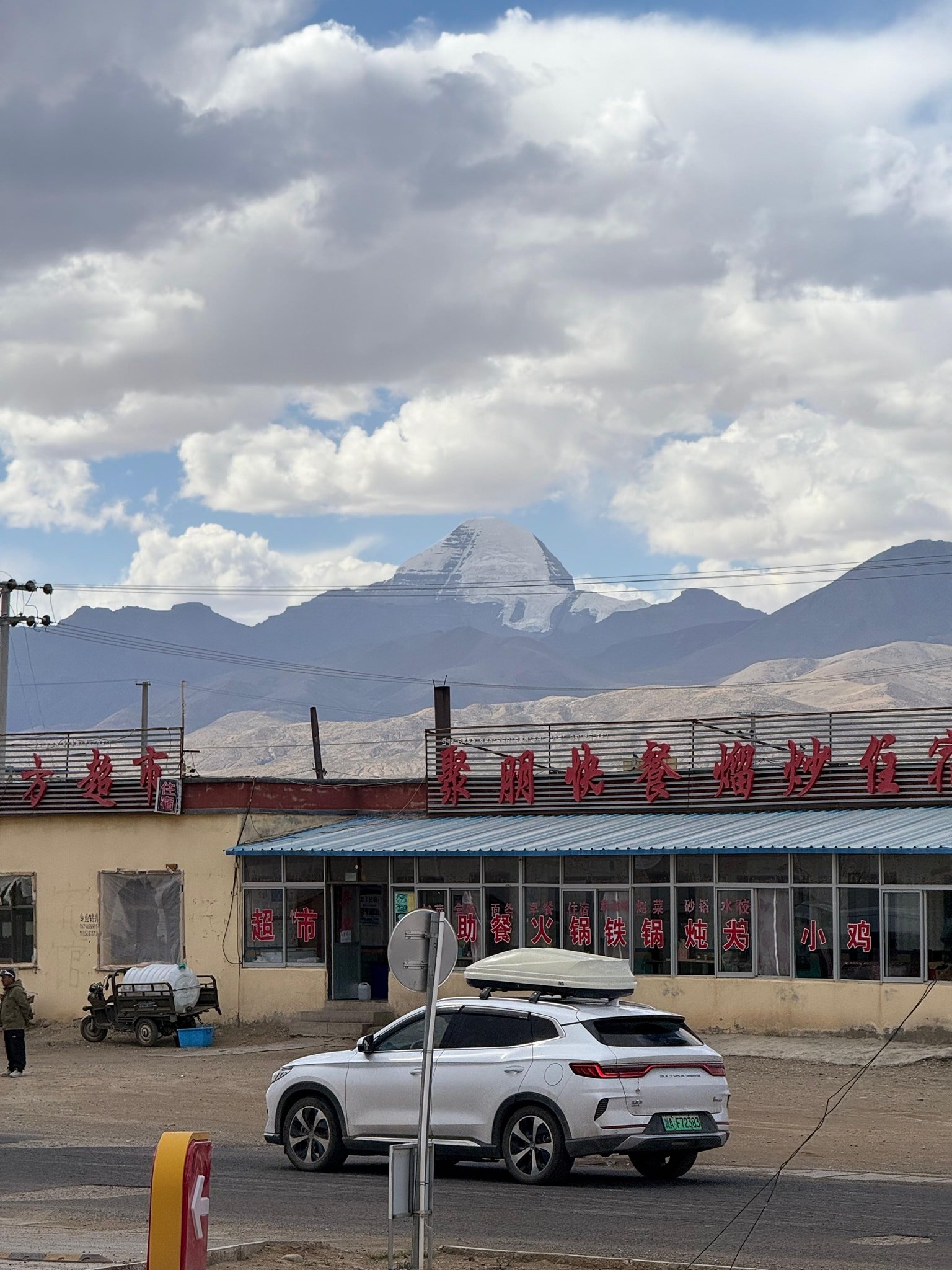
- Dirapuk Monastery: Iconic view of the north face.
- Yam Dwar: Gateway to the Kora trek.
- Lake Mansarovar: Panoramic reflection shots.
- Golden hours (sunrise/sunset) give dramatic shadows and colours.
Climate & Best Time to Visit
- May to September: Best weather for trekking, clear skies.
- Winters: Extremely cold, snow-covered, and inaccessible.
- Day temps: 5°C to 15°C; Night: below freezing.
Travel & Permit Information
- Tibet Travel Permit and Aliens’ Travel Permit required.
- Travel only with licensed Tibetan tour operators.
- Acclimatise in Saga or Darchen before trekking to avoid altitude sickness.
- Pack thermal gear, trekking boots, water purification tablets, and high-calorie snacks.
Frequently Asked Questions (FAQ)
Can Mount Kailash be climbed?
No — it is sacred, and climbing is banned by Chinese authorities out of respect for religious traditions.
How long is the Kailash Kora trek?
About 52 km, typically done over 3 days.
Why is Mount Kailash considered sacred?
It is linked to divine beings in Hinduism, Buddhism, Jainism, and Bon, and symbolises the cosmic centre of the universe.
